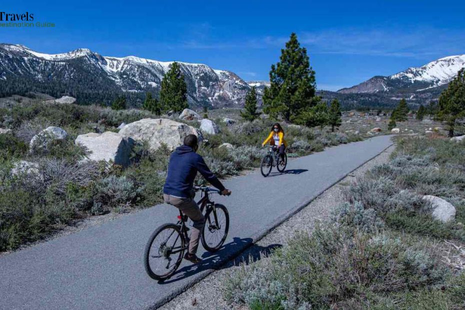
California has an atmosphere to suit everyone, ranging from temperate rainforest to desert.
Are you looking for some of the best bike trails in California? You’ve come to the right place! This state is home to some of the top stand-alone bike trails in the country.
Whether you prefer the beach or the mountains, California’s most populated state has a trail experience to suit you.
SoCal’s terrain is the most diversified region to explore on two wheels, with dreamy seaside vistas, intriguing metropolitan skylines, and lush woodland lanes.
California’s bike rides, popular with serious and recreational riders, will delight Tour de France die-hards and leisurely pedalers.
Summary of the 15 best bike trails in California
Here are seven must-see California bike pathways to add to your itinerary. And, because we love snacks, there will be coffee and food stops to complement each one.
1. Merced River Pathway
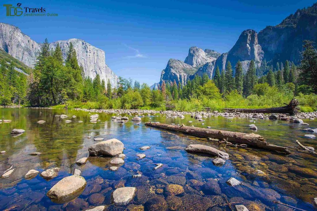
The Merced River Trail is ideal for individuals who want to move away from it all on foot, horseback, or mountain bike.
The route tracks the Merced River between Bagby and Briceburg, west of Yosemite National Park.
The site is ablaze with vibrant wildflowers, and the river is popular with whitewater rafts, fishermen, and even gold panners.
The odd automobile passing through on its way to or from three campgrounds and the Briceburg Visitor Centre is a near-certain scenery, as you’ll be sharing a road for roughly half the distance; a less-certain but still conceivable encounter is with rattlesnakes that have been in the area.
This trail can be hard to navigate due to a lack of shade and conveniences, but the harsh landscape along its 13 miles makes it worthwhile.
Address: 11202 Bull Creek Rd, Mariposa, CA 95338, United States
2. Tahoe Trailways Bike Path
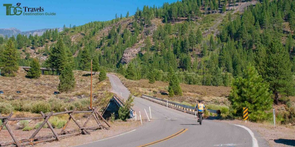
The Tahoe Trailways Bike Path is among the best bike trails in California with a more urban atmosphere, running next to State Route 28 as it approaches Dollar Point, past a brief beachfront promenade, lake viewpoints, restaurants, and lodgings.
To the west, the Truckee River Bike Trail follows the Truckee River along a disused railway line to the Squaw Valley Ski Resort, which hosted the 1960 Winter Olympics.
The river is famous for both trout fishing and rafting. To the south, the trail follows a road through homes that back up to the lake before ending at Sugar Pine Point State Park. One can go hiking, swimming, camping, and fishing.
The trail has curves for the entire length of more than 19 kilometers.
Address: 1924 Tahoe Blvd, Incline Village, NV 89451, United States
3. Coastal Recreation Trail of Monterey Bay
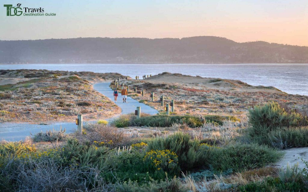
The Monterey Bay Coastal Recreation Trail follows the name so closely that waves spill over it in spots.
This 18-mile paved path provides access to sandy beaches, parks, fishing piers, and marinas, as well as numerous possibilities for animal viewing: sea lions lounging on the rocky shoreline, whales in the space, and an abundance of Californians bicycling, skating, and strolling the trail alongside you.
Along the road, shops hire kayaks and paddle boards for the surf and bikes and surreys for the turf.
You’ll see the world-famous Fisherman’s Wharf and the world-class Monterey Bay Aquarium.
Address: Monterey Bay Coastal Trail, Monterey, CA 93944, United States
4. Crystal Springs Regional Trail
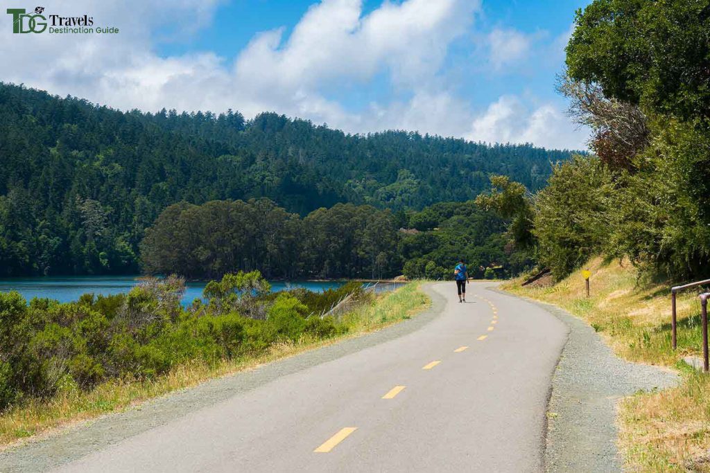
Crystal Springs Regional Trail is one of the best bike trails in California. It goes south of San Francisco along Crystal Springs Reservoir and San Andreas Lake.
The path is 16.5 miles long, flat, and winding through wooded regions. It’s stunning!
This California bike route has three sections. You can ride in parts or as a complete. Take a look the next time you’re in the Bay Area!
Address: 8251-7713, CA-35, Redwood City, CA 94062, United States
5. Mount Hough
Mt. Hough is part of a relatively recent trail system in Quincy, California, and its web rivals that of its neighbor to the west in Downvieville.
Over the last five years, the Sierra Buttes Trail Stewardship has been hard at work developing this area – the Lost Sierra – into a recreational destination for all outdoor enthusiasts, including mountain bikers.
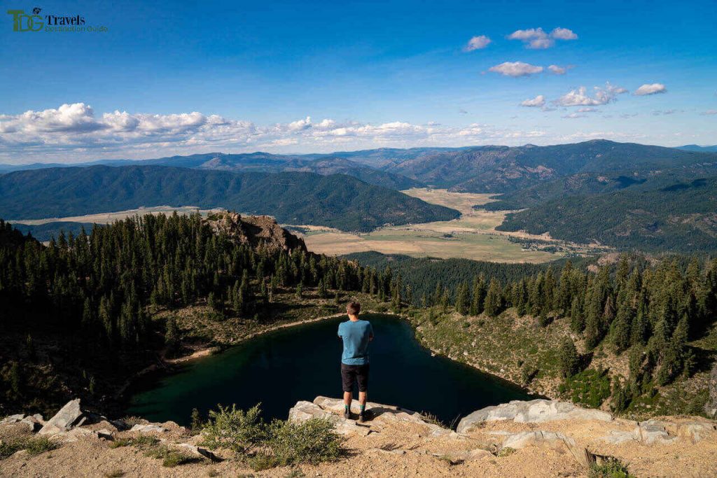
The Mt. Hough trail is one of their most recent accomplishments. This bomber descent descends 10 miles from the summit of Mt. Hough to Spanish Creek at the bottom.
The trail is smooth and buff, making it an excellent choice for families and individuals not quite ready for the characteristics of the Downieville Classic.
Address: California 95934, United States
6. Orange Line Bike Path
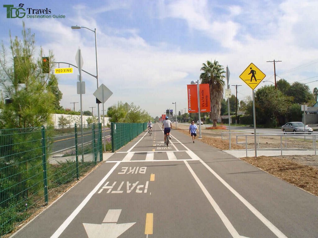
Orange Line Bike Path is one of the best bike trails in California that runs alongside the Metro Orange Line rapid busway in northwest Los Angeles.
The path adorned with native plants and public art is popular with commuters and recreationists.
The 80-acre Beilenson Park, which offers everything from tennis to archery, is a popular attraction.
A Japanese garden and a small animal reserve give a natural touch, while swan paddleboats open for rent on Lake Balboa add a touch of whimsy.
Address: 236 Kingsbury Grade Rd, Stateline, NV 89449, United States
7. West Cliff Drive Bike Path
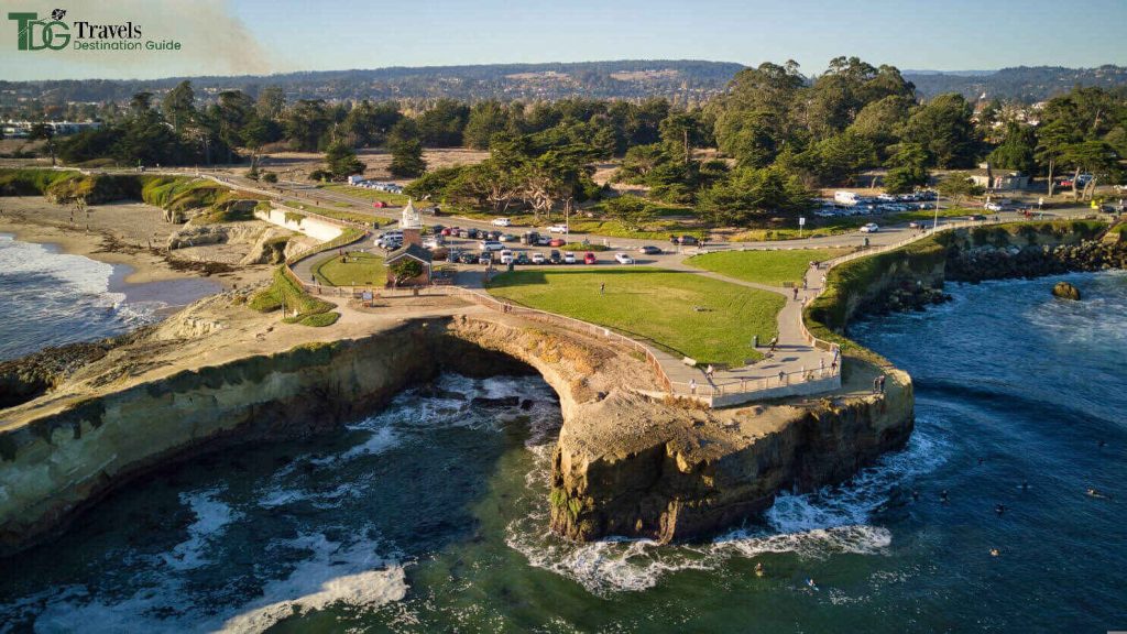
The West Cliff Drive Bike Path is about three miles long but provides plenty of views.
The road starts at the San Lorenzo River and winds through the Santa Cruz Beach Boardwalk, a traditional California seaside amusement park.
Stop for a bite at the Santa Cruz Wharf before pedaling up the cliffs to the Steamer Lane lighthouse.
The lighthouse, built in 1967 as a memorial to surfer Mark Abbott, who perished at nearby Pleasure Point, currently houses the Santa Cruz Surfing Museum.
Address: Santa Cruz, CA 95060, USA
8. Downieville Classic
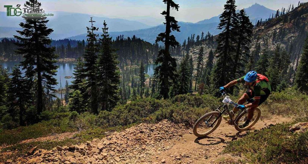
Every summer, hundreds of mountain bikers gather in Downieville to ride the Downieville Classic, one of the state’s most iconic and best bike trails in California.
This area, known as the Lost Sierra, has bloomed with new and equally fantastic trails in recent years (see Mt. Hough above), and it’s well worth a visit for anyone wishing to experience a traditional California bike path.
The Downieville Classic route begins at Packer Saddle and descends through the forest and along hills back to Downieville. It’s around 15 miles long, with 800 feet of ascent and 5,000 feet of descent.
Address: California 95936, USA
9. Modoc Line Rail Trail
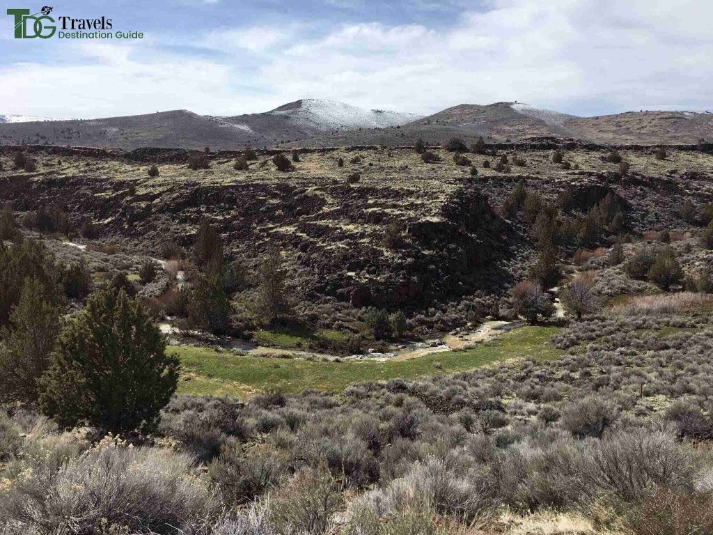
The Modoc Line Rail Trail immerses you in desolate high-desert rangeland.
It used to follow the NCO Line, which was only half-jokingly dubbed the “narrow, crooked, and ornery.”
The trail is tough to navigate, with a ballast and gravel surface.
Except for a minor stretch between Highway 395 and Karlo Road, three sections of this still-developing route are complete, and even the gaps between the finished sections are doable for the determined (except a tiny segment between Highway 395 and Karlo Road). When finished, the uninterrupted route will be 85 miles long.
The spectacular section is the 13-mile Snowstorm Canyon segment that connects two decommissioned railway stations, Crest and Karlo.
Cellphone connection is spotty, and there are no facilities along the journey, so carry your supplies.
Address: California, USA
10. The Pacific Beach Boardwalk
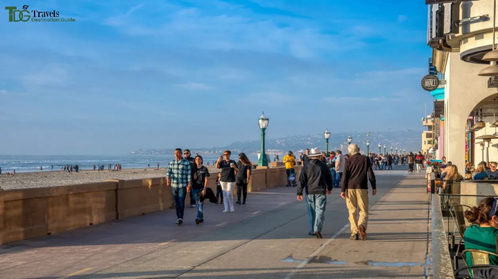
The Pacific Beach Boardwalk is among the best bike trails in California. It stretches just over five miles from Pacific Beach to the nearby South Mission Beach and exudes traditional sun-kissed California feelings.
The passage starts at Law Street Park, just north of the famed Crystal Pier, a public pier with rentable houses.
Address: 4230211700, San Diego, CA 92109, United States
11. Bizz Johnson National Recreation Trail
The Bizz Johnson National Recreation Trail is one of the best bike trails in California, inducted into the Rail-Trail Hall of Fame in 2008.
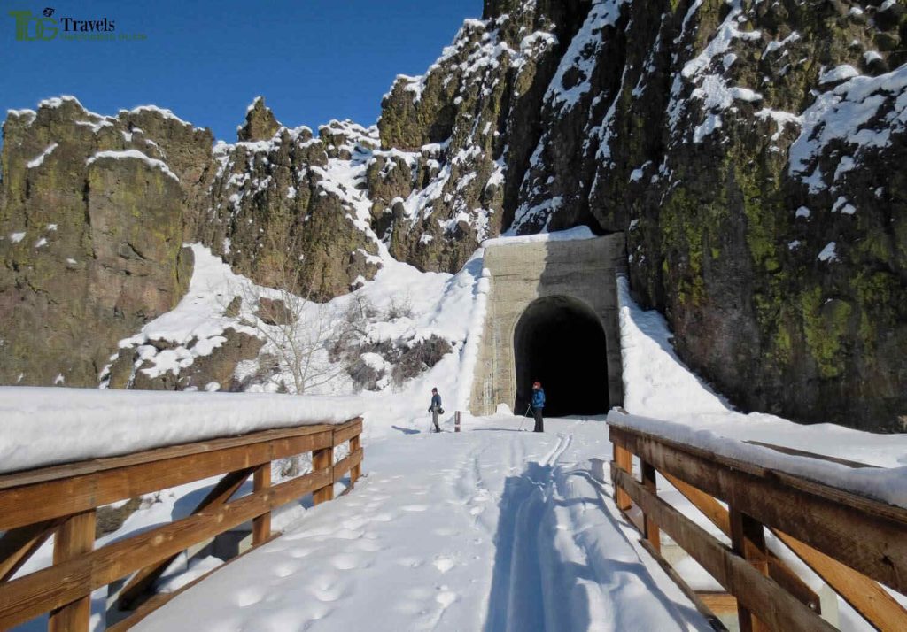
Between Susanville and Westwood, the 25-mile-long dirt and gravel trail follows the Susan River Canyon through pine forest, over 12 bridges, and three tunnels.
Railway history lovers will enjoy the historic railroad depot in Susanville, which serves as the eastern trailhead.
Keep an eye out for equestrians on the trail, and have plenty of water with you. Consider visiting in the autumn, when the route is colorful, and you can take in the surroundings.
Later in the year, the snow-covered trail attracts fat-tired mountain bikes and cross-country skiers.
Address: Bizz Johnson Trail, Susanville, CA 96130, United States
12. El Dorado Trail
The El Dorado Trail winds 35 miles through the Sierra Nevada Mountains’ foothills east of Sacramento on paved and natural conditions best suited for mountain biking.
The pathway passes through downtown Placerville, previously a stop on the Pony Express route and the third-largest town in California at the end of the gold rush.
Many historical structures from this era have survived. The route follows two former rail lines, and while locomotives haven’t run down these rails in more than 30 years, users may see speeders operated by local clubs.
People utilized these motorized vehicles for track maintenance.
While they are faster than a human-powered handcar, they can’t keep up with bike rates.
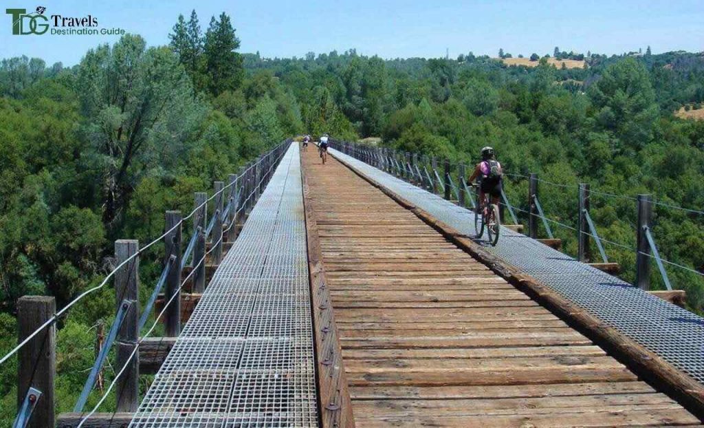
Address: California, USA
13. Bayshore Bikeway
The Bayshore Bikeway may be one of the best bike trails in California to enjoy the southern California sunshine.
The 17-mile track is smooth and nearly entirely flat, with vistas of downtown San Diego and a straight length along Silver Strand State Beach with the Pacific Ocean on one side and the bay on the other.
Military enthusiasts may appreciate witnessing amphibious hovercraft skimming across the bay or Harrier jets flying to and from the United States Naval Amphibious Base, where Navy SEALs train.
You’ll also see the Hotel del Coronado’s famous sloping red roof. The trail crosses a road in places, and the coastline portion can be very windy in the afternoon.
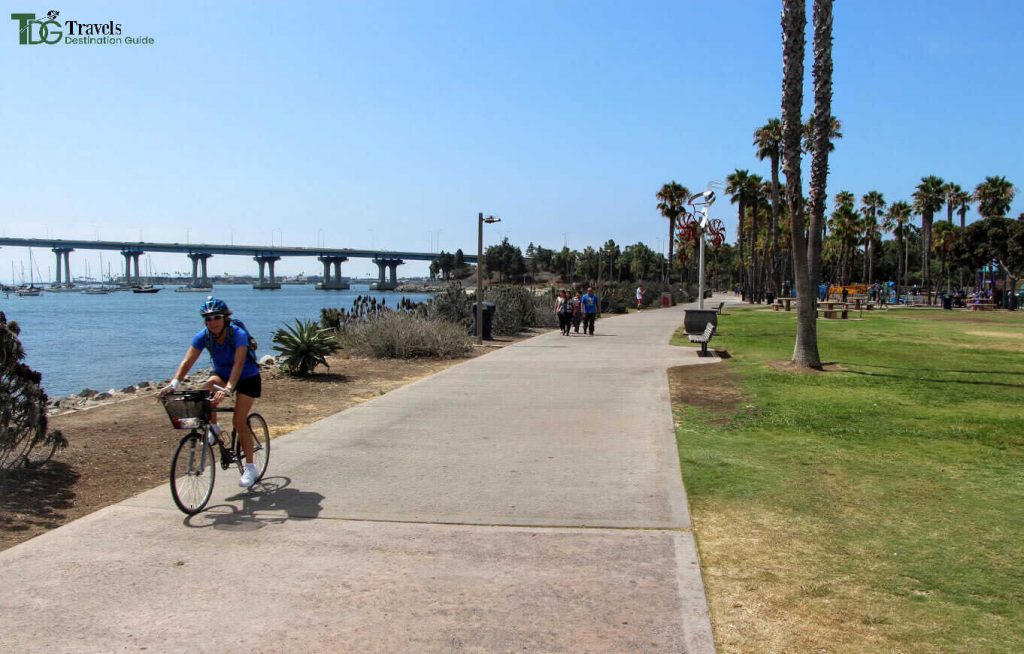
Address: California, USA
14. Tahoe Twirl
Tahoe Twirl is a 190-mile bike-packing circle around Lake Tahoe and across California’s Sierra Nevada mountains.
The circle begins in Reno and weaves through the backcountry for 5+ days on many fire roads, singletrack, and bike lanes.
Riders may desire breathtaking scenery along the Flume Trail, desert Jeep roads south of Reno, classic Tahoe Rim singletrack, and an abundance of crystal-clear cold mountain water swimming holes.t or inexperienced bikers. It’s rough and requires a high level of fitness and competence.
Tahoe is still an excellent cycling destination.
Road bikers can circumnavigate the lake in 72 miles or a meander along the Tahoe East Shore Trail, rated America’s Most Beautiful Bikeway.
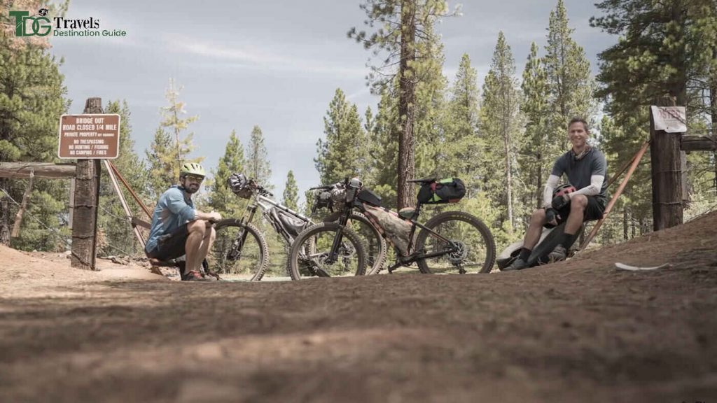
Address: United States
15. Sacramento River Rail Trail
The Sacramento River Rail Trail is among the best bike trails in California, and the Keswick Reservoir’s banks are between the upstream Shasta Dam, the sixth tallest in the country, and the much smaller Keswick Dam downstream.
The reservoir’s crystal blue waters are a near-constant companion as the paved walkway winds through beautiful mountain vistas and Bureau of Land Management wildness.
The route connects to the almost-but-not-quite-same-named Sacramento River route, which leads to the town of Redding via the Sundial Bridge.
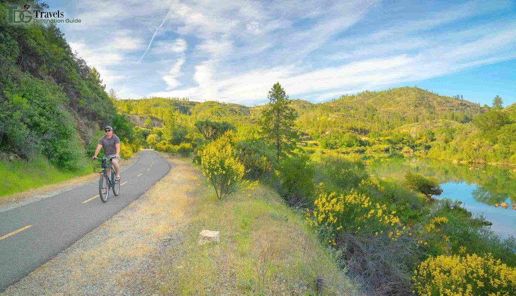
Address: Sacramento River Bike Trail, Sacramento, CA 95814, United States
FAQs
What is California’s longest paved bike trail?
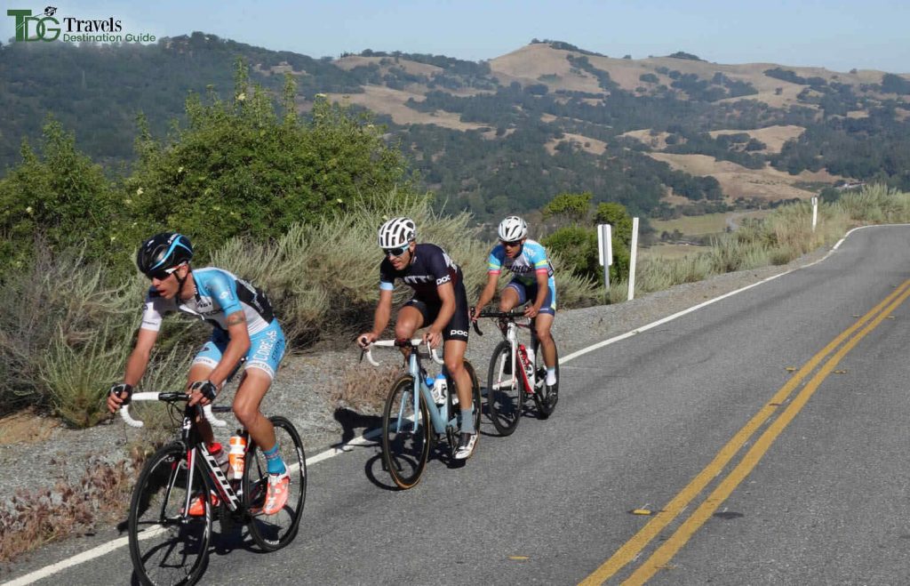
Mount Hamilton Cycle Loop is California’s longest road biking trail, according to AllTrails.com.
What is the hardest element of the California Trail?
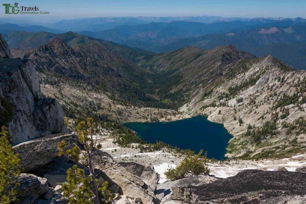
The Sierra Nevada, 400 miles long, sixty miles wide, and with craggy peaks over 14,000 feet high, was the most challenging on the California Trail. The Truckee Route was one route across, and it was the first to be successfully attempted by covered wagons in 1844.
Is California a bike-friendly state?
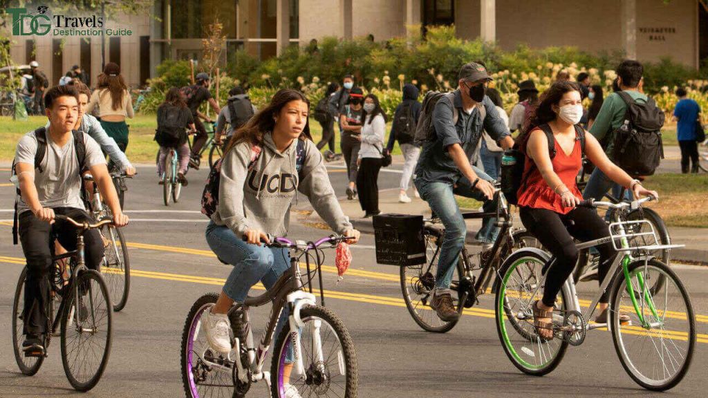
California is now the fourth most bicycle-friendly state, with 61 bicycle-friendly municipalities, 124 bicycle-friendly businesses, and 21 bicycle-friendly institutions.
Final words
California is a cyclist’s dream due to its pleasant weather, varied terrain, and eye-catching scenery.
While fantastic roads and dirt singletrack abound in California, sometimes wonderful to roll along on a purpose-built bike path and soak up the rays.
The best bike trails in California will meet your expectations if you want to have a good time while biking and seeing beautiful landscapes.
Prepare for some of your favorite West Coast rides.
